Running Reality for Historians
Running Reality provides a digital history tool and a world history model to analyze, transform, and visualize historical data in geospatial, temporal, and narrative form. It integrates with your tool chain using interchange formats like GeoJSON, CSV, SQL, RDF, EpiDOC, and LDF.
Overview
Running Reality's desktop app is an advanced tool tailored specifically for analyzing digital historical data on any desktop or laptop. This app is used to build the complex Running Reality world model and new features are being added continuously. Because it is a native history tool, it inherently handles temporal data and uncertain data and tracks data fidelity and citations. It is interoperable with a wide range of tools already in your tool set, in particular with full GIS tools like QGIS and ArcGIS, giving you options and flexibility. Download AppSolutions
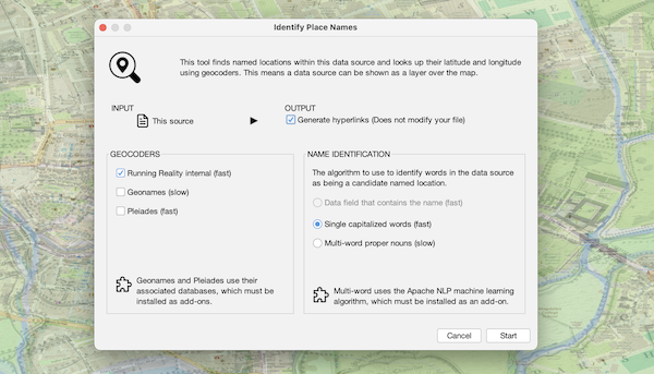
Identify named places
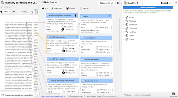
Transform data
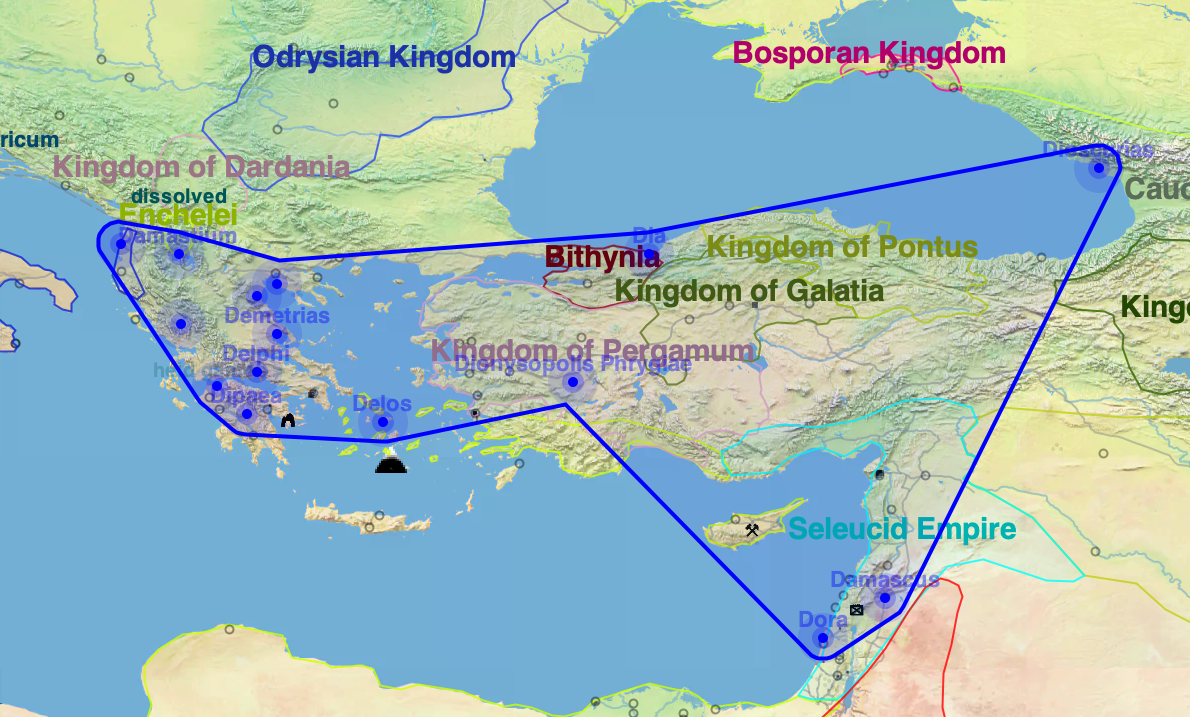
Analyze Data
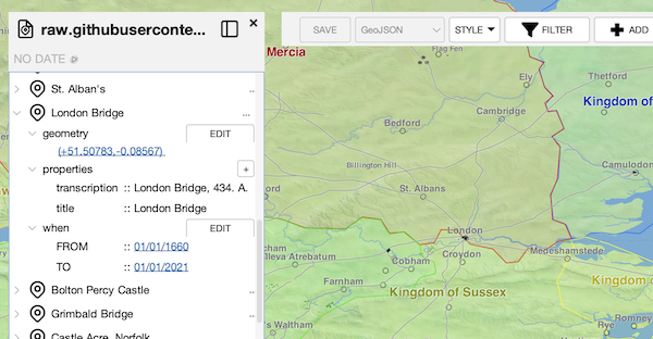
Linked Open Data
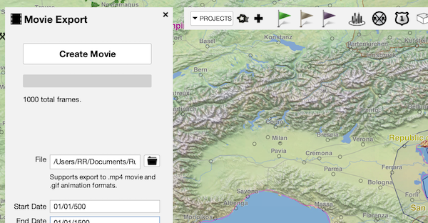
Export to other tools
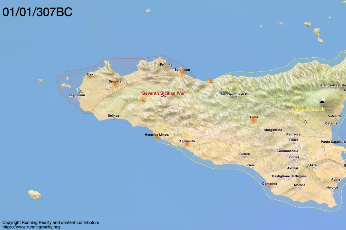
Visualization and Embedding
We are adapting our existing tools and aligned our development roadmap to meeting those needs:
- Research partnerships are critical for tool developers to understand the detailed needs and requirements of the research community
- Practical tools for the digital humanities must provide real insights and lead to research results
- Tools must natively support temporal data, high uncertainty, citation, gradations of fidelity
- Bridging narrative and structured data will be important.
We would value your feedback to identify features that would be beneficial to advancing new lines of research.
Integration
Running Reality works as part of a broader toolset using interchange file formats, such as with QGIS and ArcGIS through GeoJSON
- Running Reality operates on data that has a structured ontology and URL/URI-based properties, including pulling linked data and creating new linked properties.
- Geotemporal interchange file formats remain limited
- Running Reality supports GeoJSON extensions like GeoJSON-T, LPF, MF-JSON that include both time & date
- ISO-8601 date standard has limited support for pre-modern dates, esp BCE
- Limited adoption by tool vendors & web mapping libraries
Running Reality handles both geospatial and non-geospatial data sets in one system, with the ability to transform data across formats.
- Analyzes temporal data and imprecise data, especially data not handled well by GIS systems.
- Enhanced citation system to track data fidelity and uncertainty, in addition to tracking version control and copyright attribution.
- Extracts structured data from narrative data using Artificial Intelligence / Machine Learning large language models.
The Running Reality project has built advanced tooling tailored specifically for analyzing digital historical data from this perspective. Inscription data and coin data were analyzed for the period between 600 BCE and 200 BCE to identify and visualize patterns. Experimental techniques were applied including Augmented Reality for visualization of data points in their historical context and Artificial Intelligence / Machine learning to extract structured data on Sicilian settlements from prior narrative research.
Contribute Data
Running Reality is both a software challenge and a historical research challenge. We need your assistance to help our team ensure that the latest developments in historical research can be accessible to our audience. Contributing factoids to the history model will be very valuable to the project and will provide citation links back to your primary sources and research material. Running Reality's timeline branching is meant to facilitate exploration and discussion of new and emerging research.
Feedback
We would love to hear your feedback and to partner with you to build digital history tools to solve research questions and explore data in new ways.
Send the Running Reality team an email:
